Welcome
Drone Precision Mapping Solutions for Your Projects
Our team delivers accurate data to ensure your success.

Our team delivers accurate data to ensure your success.

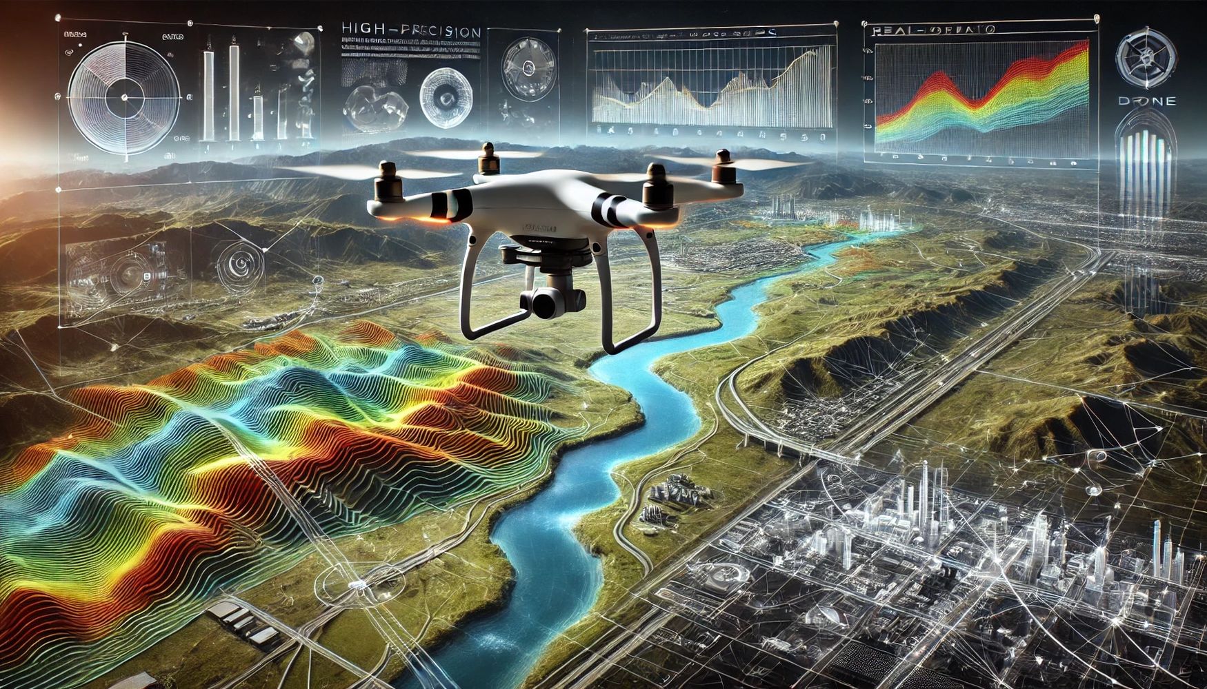
GeoVision specializes in drone precision mapping and AI-driven geospatial applications. We provide high-resolution aerial surveying, 3D terrain modeling, orthophoto generation, and volumetric analysis for construction, land development, and environmental monitoring. Our advanced geospatial data analysis integrates multiple sources (UAV, LiDAR, satellite) to create detailed maps, dashboards, and visual reports. With AI-powered solutions, we offer predictive analytics, automated object detection, and real-time monitoring, helping industries make data-driven decisions for land use, infrastructure planning, and environmental management.
We love our customers, so feel free to visit during normal business hours.
108, JALAN BANDAR CEMERLANG 3/1, BANDAR CEMERLANG, 81800 ULU TIRAM JOHOR MALAYSIA
Mobile : +60 16-768 8385 Email : ktchan@geo-vision.cc
Today | Closed |
Copyright © 2024 GeoVision - All Rights Reserved.